About the project
NLocator is where real plots, real terrain and house models meet in 3D — in the browser, with nothing to install.
How it started
The first version of NLocator was a plot finder: you found a plot by its identifier, or by its precinct and number, and could then see it in 3D and put a building or trees on it.
Today NLocator takes the same idea further: besides plots and sharing them, there are tools to design the house itself — its plan, windows and doors — a 3D model library, and public profiles through which builders, architects and municipalities show their houses.
The data behind it
Plots, terrain and surroundings come from the open services of Poland's Head Office of Geodesy and Cartography (GUGiK):
- plot boundaries and numbers — from the cadastral parcel location service (ULDK),
- the lie of the land — from the digital terrain model (NMT),
- the orthophoto map — from the Geoportal,
- neighbouring buildings in 3D — from GUGiK's building models.
🏅 Distinction from Poland's Surveyor General
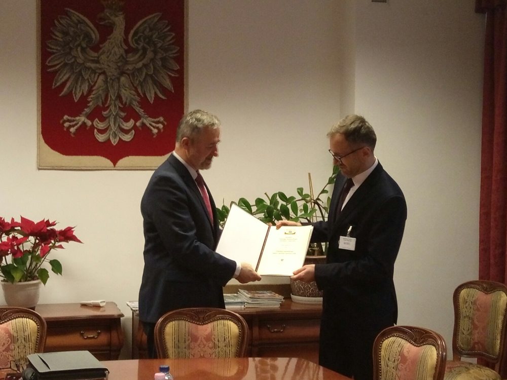
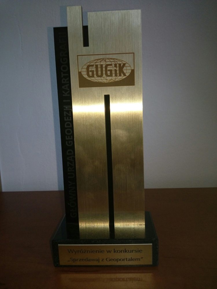
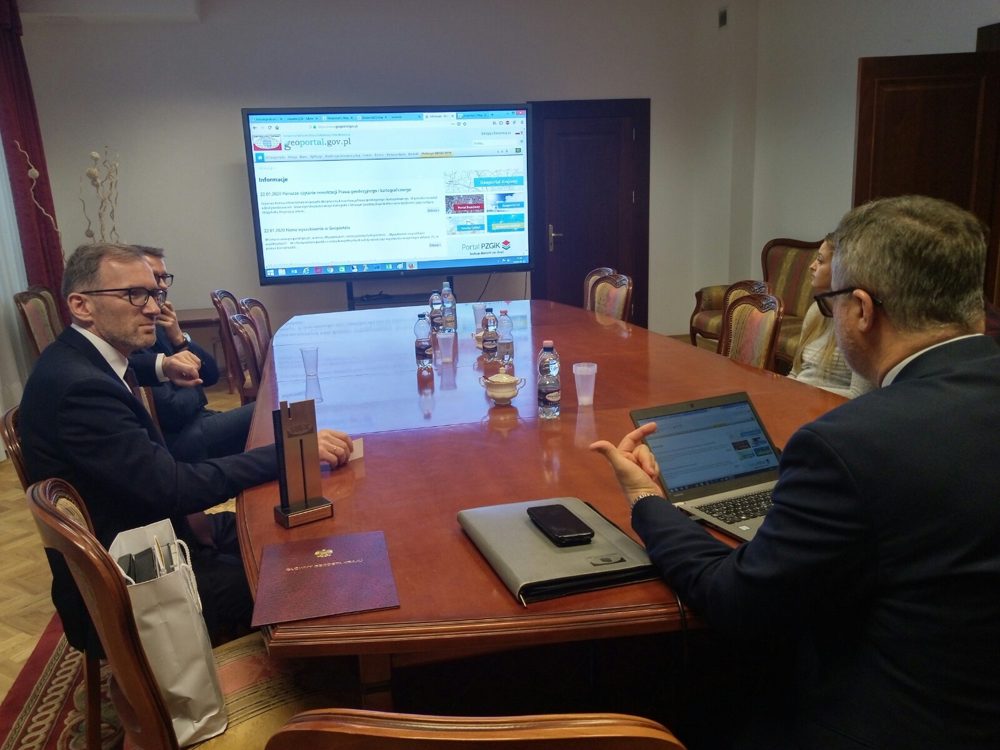
In January 2020 the jury of the “Sell with the Geoportal” competition, announced by Poland's Surveyor General (Główny Geodeta Kraju), gave NLocator's creator a distinction for a “very inventive use of several features of the network services provided by GUGiK” — finding plots, and viewing them in 3D while planning what goes on them.
The competition's result (PDF, in Polish) →
Contact